City Plan + District Plans = Development Opportunities You Need To Know About
October 18, 2024

Introduction
The City’s Municipal Development Plan, City Plan, was approved by City Council on December 7, 2020, and District Plans for each area of the city were approved on October 2, 2024. These plans set the direction for how future growth will happen in Edmonton and have created a lot of new development opportunities that are important for real estate entrepreneurs to know about.
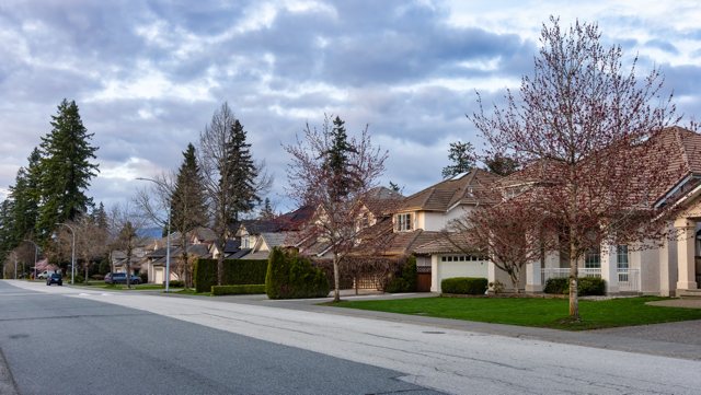
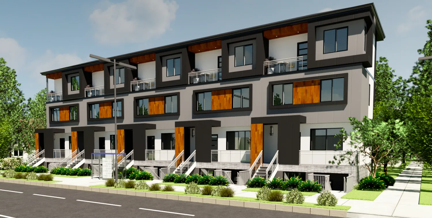
Most of Edmonton’s older neighbourhoods are full of single detached houses. With the approval of Zoning Bylaw 20001, most neighbourhoods are now designated RS (residential small scale zone), which allows for new housing in the form of single detached homes, semi-detached homes, row homes, and even small apartments (where dwellings are stacked on top of one another).
In addition to these new development opportunities in the RS zone, City Plan and District Plans identify a number of corridors (major roads) and nodes (activity areas) throughout the city where higher density development is encouraged. You can see where the nodes and corridors are located on this map, which shows the exact boundaries of the nodes and corridors as established by the District Plans. If you own a property that you’re thinking about redeveloping, or you’re considering buying a property to redevelop, that map will give you a good indication of whether the property is a good candidate for rezoning and redevelopment for low-rise, mid-rise, or high-rise development.
Great News, Your Property’s In A Corridor! But What Exactly Does That Mean?
Corridors in City Plan are either classified as “secondary corridors” or “primary corridors,” and the type of development that’s encouraged within a corridor depends on this classification.
Secondary Corridors
The City Plan specifies that secondary corridors are typically one to three blocks wide, where low-rise and mid-rise buildings are encouraged. In Edmonton:
- Low-rise means up to 4 storeys
- Mid-rise means 5 to 8 storeys
If you’re applying to rezone a site within a secondary corridor for a building up to 4 storeys, your application should generally be supported by City Administration and approved by City Council.
Rezoning for a taller building—up to 8 storeys—may also be supported by the District Policy in some cases, especially if the site is located on or near a collector or arterial road within the corridor. In general, the closer the site is to the main road that defines the corridor, the more height and scale may be considered appropriate.
Primary Corridors
Primary corridors are about three to five blocks wide, and mid-rise and some high-rise developments are encouraged within their boundaries. Again, mid-rise buildings include anything up to eight storeys in height, and high-rise includes anything taller than that.
Rezoning a site in a primary corridor for buildings up to eight storeys should generally be supported by City Administration and approved by City Council.
Taller buildings—those above 8 storeys—may also be supported, but only if your site meets two key conditions:
- It’s located along an arterial roadway; and
- It’s within 200 metres of either:
- an intersection of two arterial roads, or
- a mass transit station.
For very tall buildings (over 20 storeys), there’s a third requirement: the site must be large enough and in a context that allows for a smooth transition to surrounding lower-scale buildings.
Now What About Nodes?
The nodes in City Plan are either classified as “district nodes” or “major nodes.” The nodes are centred on institutions, employment areas, and/or transit stations. Some examples include NAIT, West Edmonton Mall, and Century Park.
District Nodes
According to City Plan, District Nodes are major growth areas that span roughly 800 metres to one kilometre in width. These areas are intended to support a mix of mid-rise and some high-rise development over time.
If you’re applying to rezone a site within a District Node for a building up to four storeys, you can generally expect support from City Administration and approval from City Council.
Mid-rise buildings (up to 8 storeys) may also be supported, as long as at least one of the following conditions is met:
- The site is within 400 metres of a mass transit station
- The site is along an arterial roadway
- The site is large enough and well-situated to allow for a smooth transition to nearby buildings, with good site access
High-rise development (up to 20 storeys) is supported when both of the following are true:
- The site is either within 200 metres of a mass transit station or located on an arterial road; and
- The site can accommodate a proper transition to surrounding development
Major Nodes
Major Nodes are large growth areas—about two kilometres wide—where both mid-rise and high-rise development are encouraged.
If you’re applying to rezone a site within a Major Node for a building up to eight storeys, your application should generally be supported by City Administration and approved by City Council.
High-rise development (over 8 storeys) is supported within Major Nodes when at least one of the following conditions is met:
- The site is within 400 metres of a mass transit station and located on a collector road
- The site is along an arterial road
- The site is large enough and in a context that allows for appropriate transition to surrounding development, with good site access
Tall high-rise development (over 20 storeys) is supported when both of the following are true:
- The site is within 200 metres of a mass transit station or along an arterial road; and
- The site is suitable for transitioning to the surrounding neighbourhood
My Property’s Not In A Node Or A Corridor. What Does That Mean?
Most properties that aren’t in nodes or corridors fall under the Urban Mix category and are zoned RS (Small Scale Residential). The District Plans generally aim to keep these properties zoned as RS. However, there are some situations where more intense development may be supported—especially near the edges of nodes and corridors.
Corner Sites May Support More Intensity
Rezoning to the RSM zone (which allows more units or larger small-scale buildings) may be supported on corner sites if at least one of the following is true:
- The site is in or within 100 metres of a node or corridor
- It’s within 400 metres of a mass transit station
- It’s along an arterial or collector road
Low-Rise Buildings Can Be Supported in Certain Locations
Even outside of nodes and corridors, low-rise development (up to 4 storeys) may be supported if at least one of these conditions is met:
- The site is at the edge of a neighbourhood, on a corner, and fronts an arterial or collector road
- The site is on or next to land already zoned for larger-scale, commercial, or mixed-use development, and is along an arterial or collector road
- The site is within 400 metres of a mass transit station and on an arterial or collector road
In Some Cases, More Height May Be Allowed
City Administration also has the discretion to support additional scale—low-rise or greater—outside of nodes and corridors if the site fits well with its surroundings and meets at least two of the following:
- It’s in or within 100 metres of a node or corridor
- It’s within 400 metres of a mass transit station
- It’s on an arterial or collector road
- It’s a corner lot or next to a park or open space
- It’s next to land zoned for more than small-scale residential
Does All This Mean That Rezonings In Corridors And Nodes Will Be A Slam Dunk?
A successful rezoning depends on a lot of factors. Rezoning decisions are made by City Council, which means it’s a political decision. Some rezoning applications can generate a lot of opposition from the community, particularly in lower density areas that haven’t yet seen a lot of change—this can influence Council’s decision. In most cases, the closer your site is to the centre of a node or directly on the roadway that a corridor is named after, the better your chances will be for a successful rezoning.
We recommend consulting a professional planner (like us) to help you decide which zone is the best option for your site, and to help you communicate with your neighbours and City Council.
Conclusion
In conclusion, there are a lot of development opportunities throughout the city now that City Plan and District Plans have been approved. Reach out to us for support with navigating strategy and approvals on your next project.
Let’s Talk About Your Project
Curious how this could apply to your situation? Let’s have a quick conversation and explore what’s possible.

If You’re Building More Housing, You Deserve a Smooth Approval
Our cities need more housing, and we don’t think anything should stand in the way. Book a call and let’s map the fastest path to yes.